Description of the Demonstrator
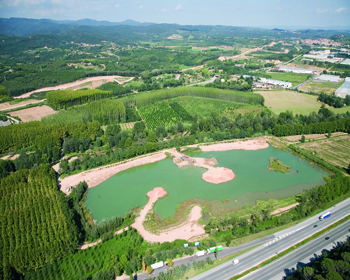
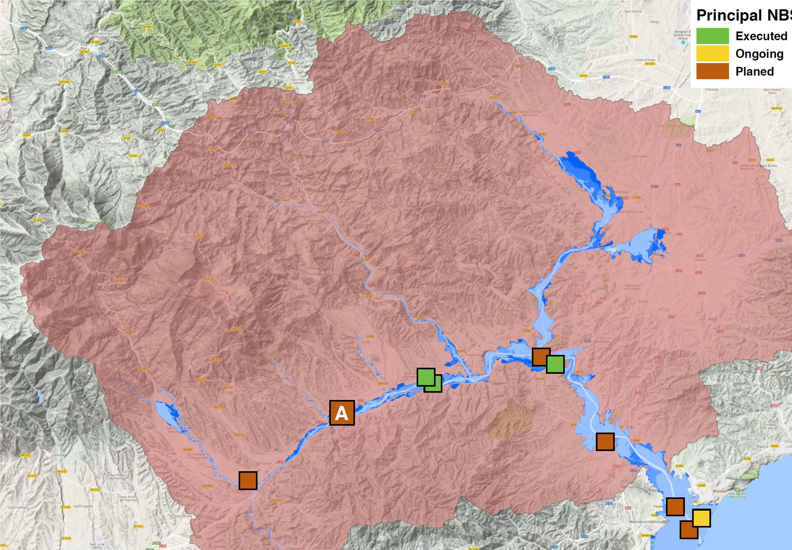
Tordera river is born at Montseny Natural Park (1.076 m.a.s.l.), it covers an area of 900 km² and it flows into the Mediterranean Sea forming the Tordera Delta. Several cities are located along its course (Sant Celoni: 17.500 inhabitants, Tordera: 16.500 inhabitants, Hostalric: 5.000 inhabitants).
Tordera has a typical Mediterranean rain regime (scarce and highly irregular) and flash floods usually occur. Vulnerable activities are found in flood prone areas as the middle part of the basin is highly industrialized and the delta is a popular tourist spot where diferent camp sites are located.
Context
Environmental and Geographic context, climate conditions and problem description concerning hydro-meterological risks.
The Tordera River Basin is located in Catalonia, in the north-eastern part of the Iberian Peninsula, and it covers an area of 900 km². The Tordera is born at Montseny Natural Park and it flows into the Mediterranean Sea forming the Tordera Delta.
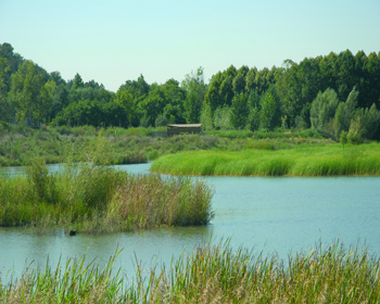
The upper part of the Tordera river and its tributary, Riera de Gualba, have been designated as a Natural Fluvial Reserve due to its environmental values. There are also different river courses within the basin that have been protected due to the presence of relevant fluvial habitats and species.
The climate and precipitation regime are Mediterranean, with two wet seasons (March-May and September-December) and two dry seasons (January-February and June-August). This highly seasonal rainfall results in a highly seasonal flow regime, as there are no important flow regulation structures present in the basin. Consequently, flash floods may occur during spring and fall, whereas in the summer the final reach of the river remains completely dry.
There are 16 historic flooding events on the record; the last one in 1982, when more than 1.000 m³/s were measured at the river mouth and water depth in Hostalric reached 5 m. Vulnerable activities are found in flood-prone areas as the middle part of the basin is highly industrialized and the delta is a popular tourist spot where different campsites are located.
Find out more in this article
Implementation
The Flood Risk Management Plan of the River Basin District of Catalonia includes a measure consisting in the development of a Levee Management Plan for the Tordera, Muga and Ter River basins.
In the context of these Plans, we plan to study and implement different types of NBS, focusing mainly on the setback of levees and the construction of water storage areas and/or restoration of wetlands.
- Increase the room for the river in large flooding events
- Combination of hydrologic and environmental values
- Recover fluvial and sediment transport dynamics
- Social value
- Potential to improve drought situations and to increase water security
The key actors that will be involved in the development and implementation of NBS will be:
- ACA – River Basin Authority
- Municipalities
- Camp-sites Association
- Environmental NGOs
- Other institutions conducting similar studies/research in the Tordera River basin
We aim to be able to upscale and replicate the solutions and measures implemented in the Tordera River basin to other basins within the River Basin District of Catalonia.


